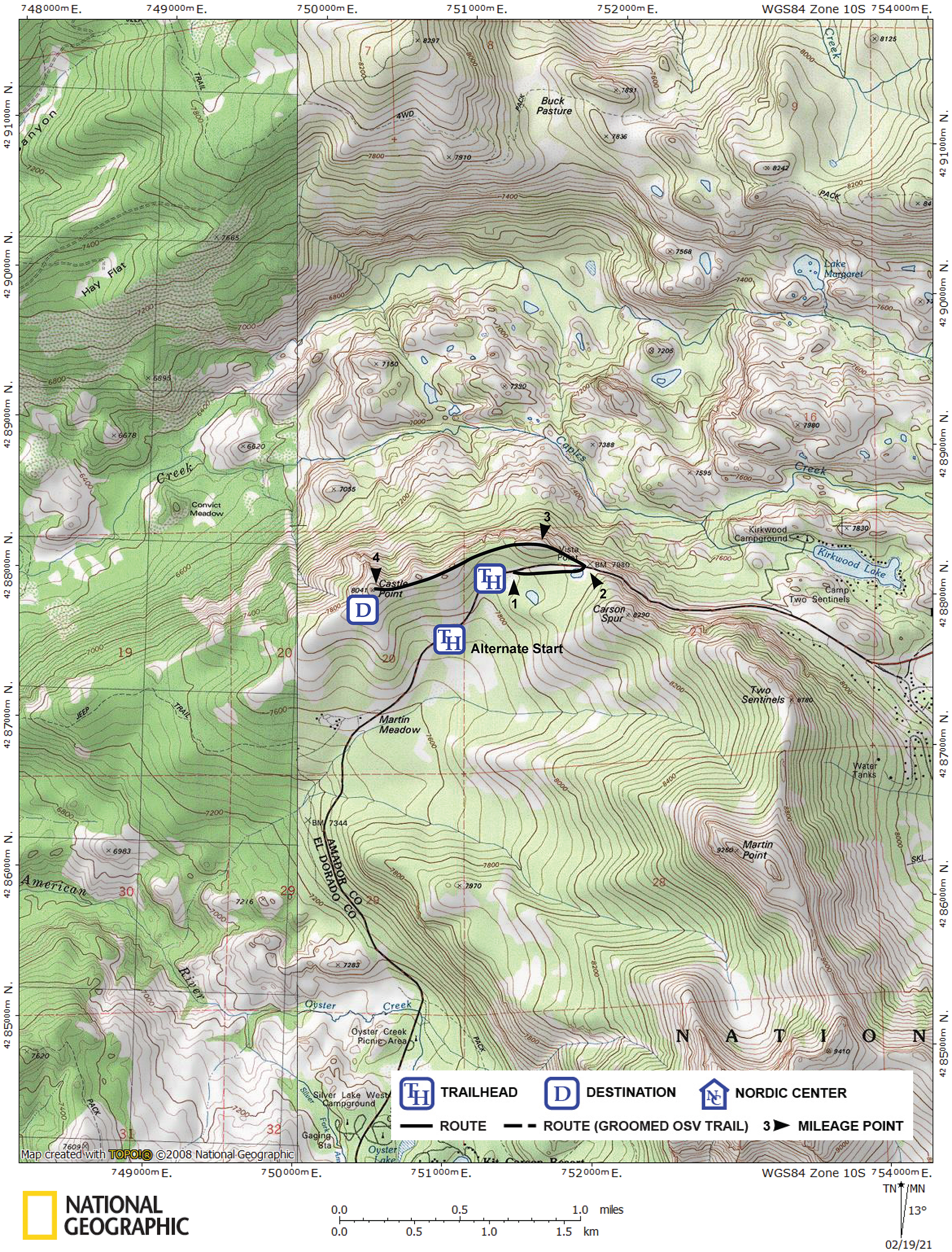
Summary ![]()
| Difficulty | 2 Beginner-intermediate |
| Length | 2.6 miles round trip |
| Starting Elevation |
7900 feet |
| Cumulative Elevation Change |
+500, -500 feet |
| Navigation | Easy to follow directions |
| Time | Several hours |
| Season | Late December through early April |
| Snowmobiles Use | Not permitted [Please report illegal use of snowmobiles in this area.] |
| USGS Topo | 7.5' series, Caples Lake |
| Start | South side of Highway 88 at the summer trailhead for Thunder Mountain, 0.2 miles east of an eastbound passing lane and 0.3 mile west of the Carson Spur. Parking is in a small plowed area. Alternative parking on south side of Highway 88 along the eastbound passing lane in small cuts made by CalTrans. The passing lane is located between 0.5 and 1.2 miles west of the Carson Spur. Special notice. |
Description ![]()
This is a real "sleeper" of a tour in that it has so many great things going for it although it certainly is not well known. Probably the hardest part of this tour is finding a place to park. But your effort will be rewarded with outrageous views north of Desolation Wilderness and east of the peaks to the north of Carson Pass.
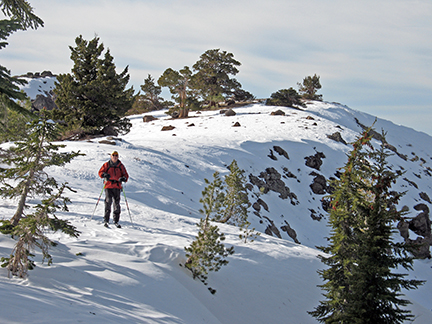
Typical terrain along the ridge to Castle Point
The tour takes you to two peaks. Although the first is unnamed, it is slightly higher than Castle Point, the second. Between these two peaks the views north are continuous.
Especially noteworthy is Pyramid Peak to the north. You can barely see Pyramid Peak from the first peak, but as you ski west to Castle Point it becomes more prominent on the skyline. You will also be treated to views of convoluted rock pillars scattered along the north side of the ridge that you traverse.
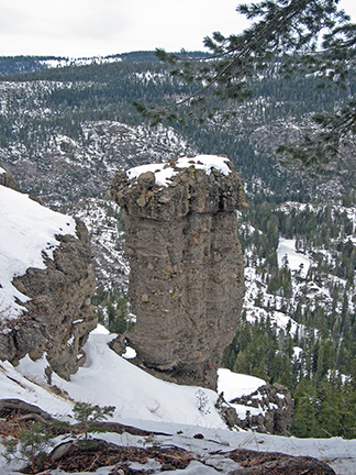
Rock pillar on north side of ridge
This tour retraces itself back to the trailhead. The Castle Point Loop tour provides an alternative return route.
Mileage Log ![]()
Numbers in parentheses
correspond to mileage points on map
This mileage log begins at the summer trailhead for Thunder Mountain. Adjustments to the described route are required if parking at the alternative starting point.
Waypoint 1 to 2
Miles: 0.0 - 0.4
Elevation change: +100 feet
From the trailhead (1) ski east for 0.4 mile until you reach the highpoint on Highway 88 (2).
Waypoint 2 to 3
Miles: 0.4 - 0.6
Elevation change: +100 feet
Carefully cross to the north side of the highway and then climb west for 0.2 mile until you reach the highest peak (3) on the tour.
Waypoint 3 to 4
Miles: 0.6 - 1.3
Elevation change: +150, -150 feet
Follow the ridge west, first descending to a saddle before climbing for a total of 0.7 mile until you reach Castle Point (4).
Return to trailhead
Miles: 1.3 - 2.6
Elevation change: +150, - 350 feet
Retrace the route for 1.3 miles back to the trailhead (1).